Texas Rural Areas Will Have More Accessible Healthcare Thanks To Drones
Adrian Billings, M.D., Ph.D., TTUHSC School of Medicine associate academic dean of rural and community engagement, said, “We’re at the southern terminus of US 67, a very isolated community of about 5,000 to 6,000 residents with limited access to healthcare services.”
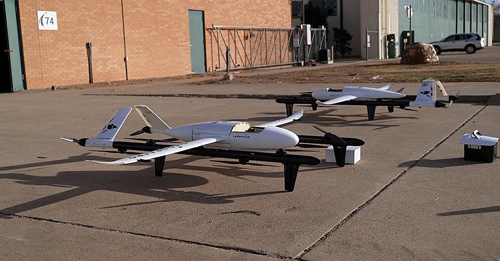
The eight-foot by nine-foot drone had its forest flight last week. The drone traveled round-trip several times from Alpine to Presidio which was a total of 74 miles each way.
This was the first and longest medical mission in the U.S. by Australian-based company Swoop Aero, which provided the drone technology, technical support and pilot training.
Linda Molinar, Presidio County Medical Clinic (PCMC) said that having a drone during the COVID-19 pandemic would have made it easier to gather supplies and medicine.
“We were number one in the state for vaccinations for several months, but that required…someone from my staff to drive for more than 10 hours,” said Molinar.
Billings said, “We are physically on the frontier and we’re pioneering this new drone technology to attempt to improve access to care for these very remote patients.”
Can You Guess These Towns From Their Satellite Photos?
Gallery Credit: Sarah Clark
20 Texas Places We Have All Been Saying Completely Wrong
More From Lonestar 99-5 FM